Teston Bridge Country Park
![]()
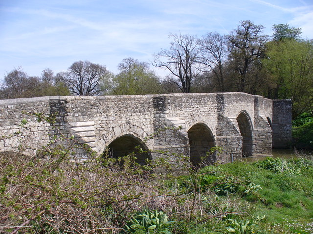
![]() This country park is set around the picturesque 14th century Teston Bridge on the banks of the River Medway in Teston, near Maidstone. A variety of wildlife can be spotted here – look out for otters which can be seen along the river.
This country park is set around the picturesque 14th century Teston Bridge on the banks of the River Medway in Teston, near Maidstone. A variety of wildlife can be spotted here – look out for otters which can be seen along the river.
The circular walk starts at the car park next to Teston Bridge and heads along the river to the village of Wateringbury, before crossing the River and returning to the start point on the opposite side.
Postcode
ME18 5BX - Please note: Postcode may be approximate for some rural locationsPlease click here for more information
Teston Bridge Country Park Ordnance Survey Map  - view and print off detailed OS map
Teston Bridge Country Park Open Street Map  - view and print off detailed map
Teston Bridge Country Park OS Map  - Mobile GPS OS Map with Location tracking
Teston Bridge Country Park Open Street Map  - Mobile GPS Map with Location tracking
Further Information and Other Local Ideas
You can easily extend your walking on the waymarked Medway Valley Walk. The Wateringbury River Walk and Yalding River Walk both use part of the trail to create circular walks through the area. You could also head into Maidstone and try the Maidstone River Walk.
For more walking ideas in the area see the Kent Walks page.
Cycle Routes and Walking Routes Nearby
Photos
The River Medway from Teston Bridge. Note the pedestrian 'refuge', one of several along this narrow bridge.


